Last April I walked from home to the state capitol. In May I tried walking from the kids’ daycare to the capitol but could only get 11.5 miles due to the heat. I told neighbor Chris about my adventures and he thought it sounded like a blast, so last month the two of us walked from home to the state capitol. And on Friday we each took time off work and tried something new—getting dropped off by Lauren south of downtown and making our way home. The walk, if completed, would have been around 18.5 miles—all uphill. The previous walks going south were all downhill. So this would be a totally new challenge.
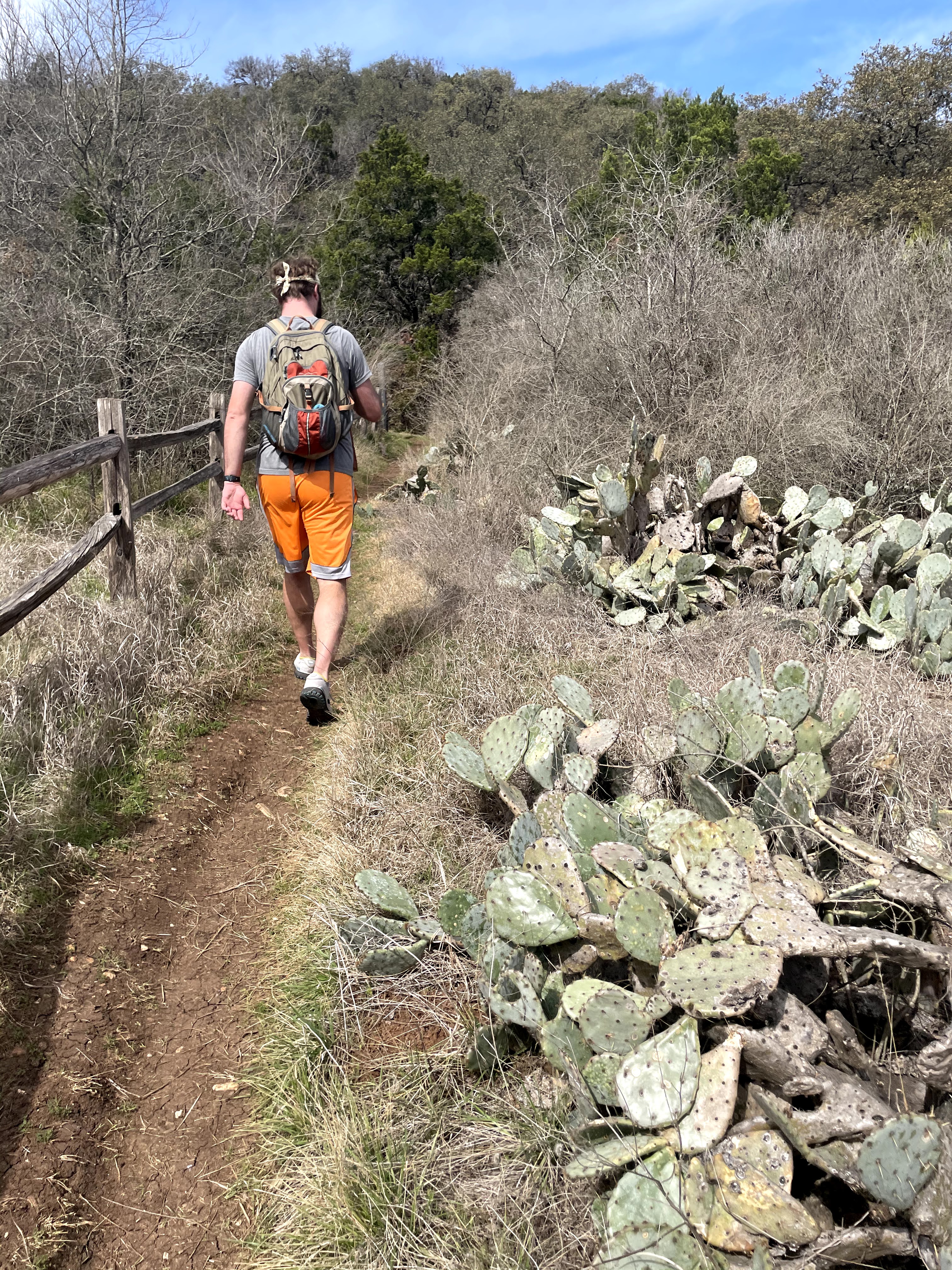
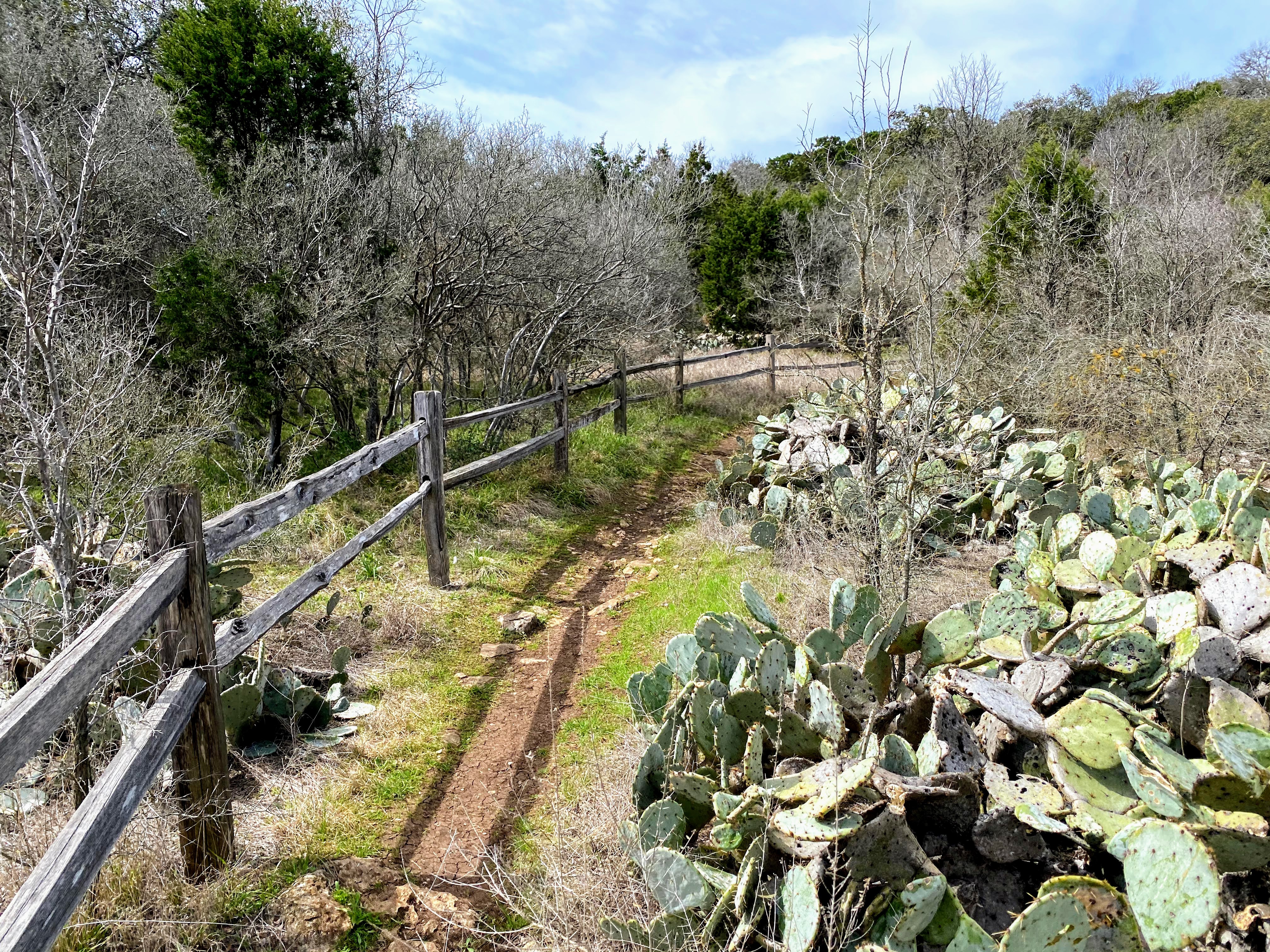
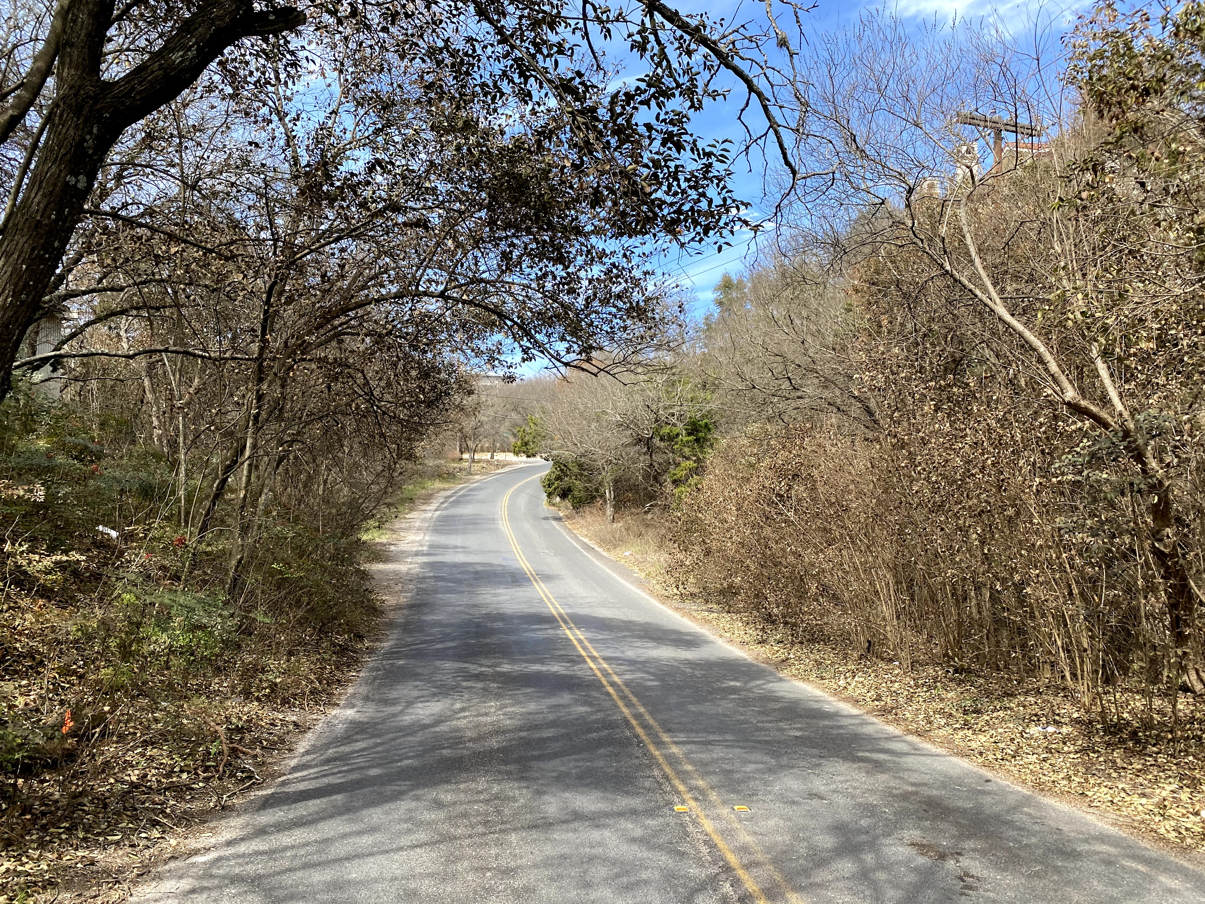
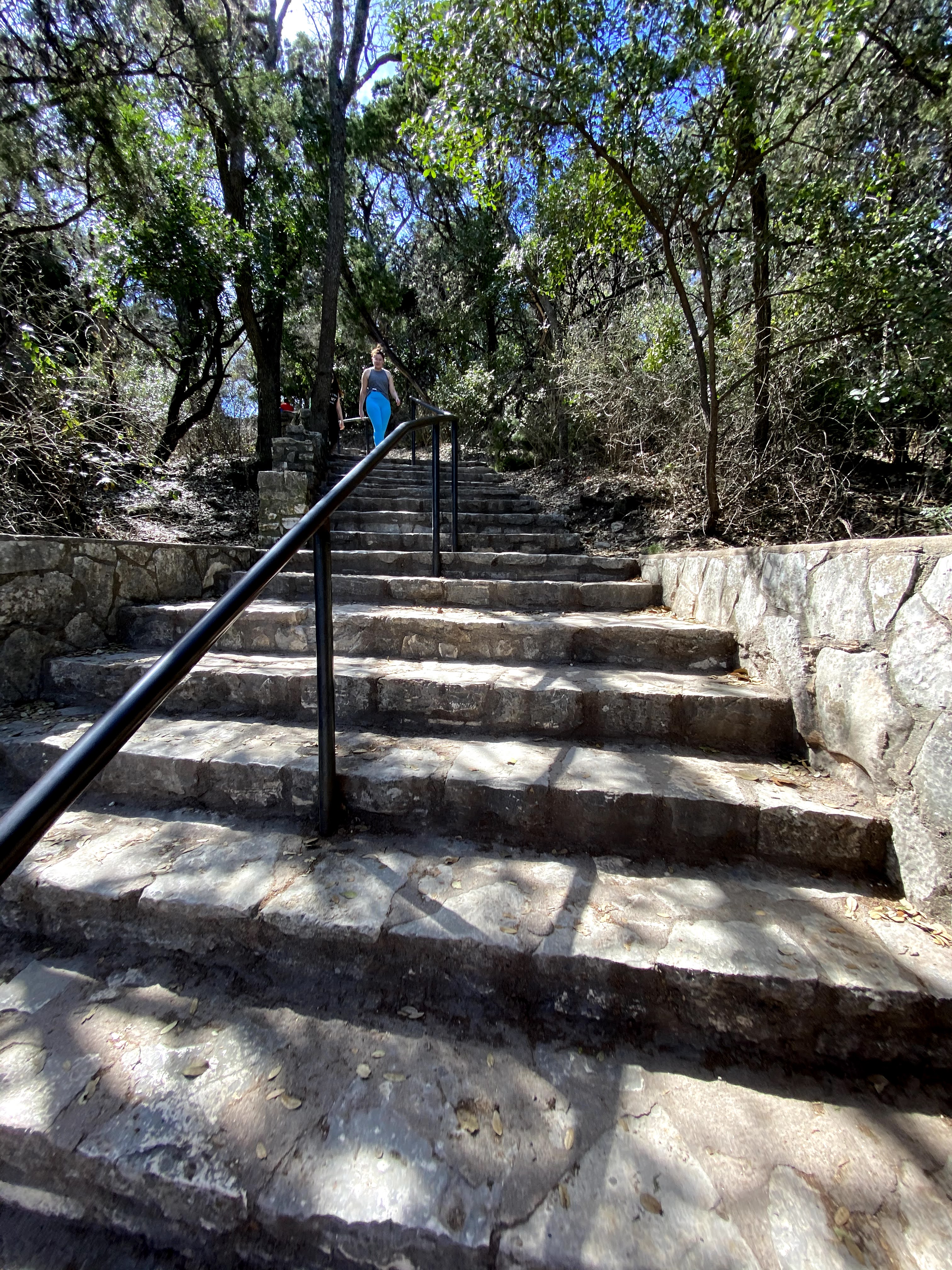
We started in Zilker Park, Austin’s sprawling open park which is home to the annual Austin City Limits Music Festival. From there, we immediately needed to jut across Mopac, and found a friendly little wooded trail through a cactus patch with a scenic city overlook. We zigzagged through million-dollar homes for four miles, very few of which had anything resembling a sidewalk or shoulder as we made our way over to the Colorado River. We were constantly clinging to a little scrap of shoulder hoping not to get hit by cars, or running from one side of the road to the other, whichever had better driver visibility as they turned through sharp, hilly curves.

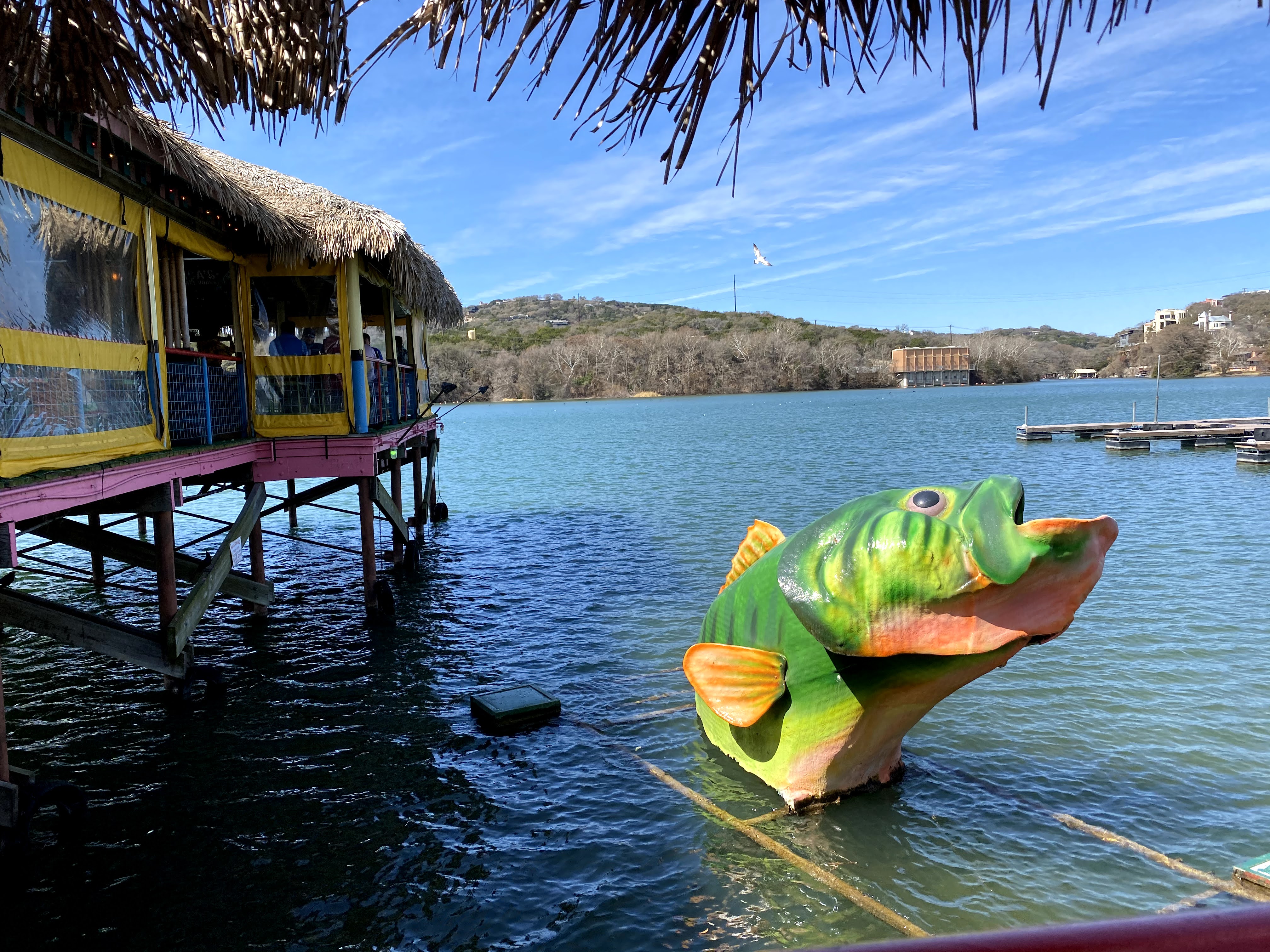
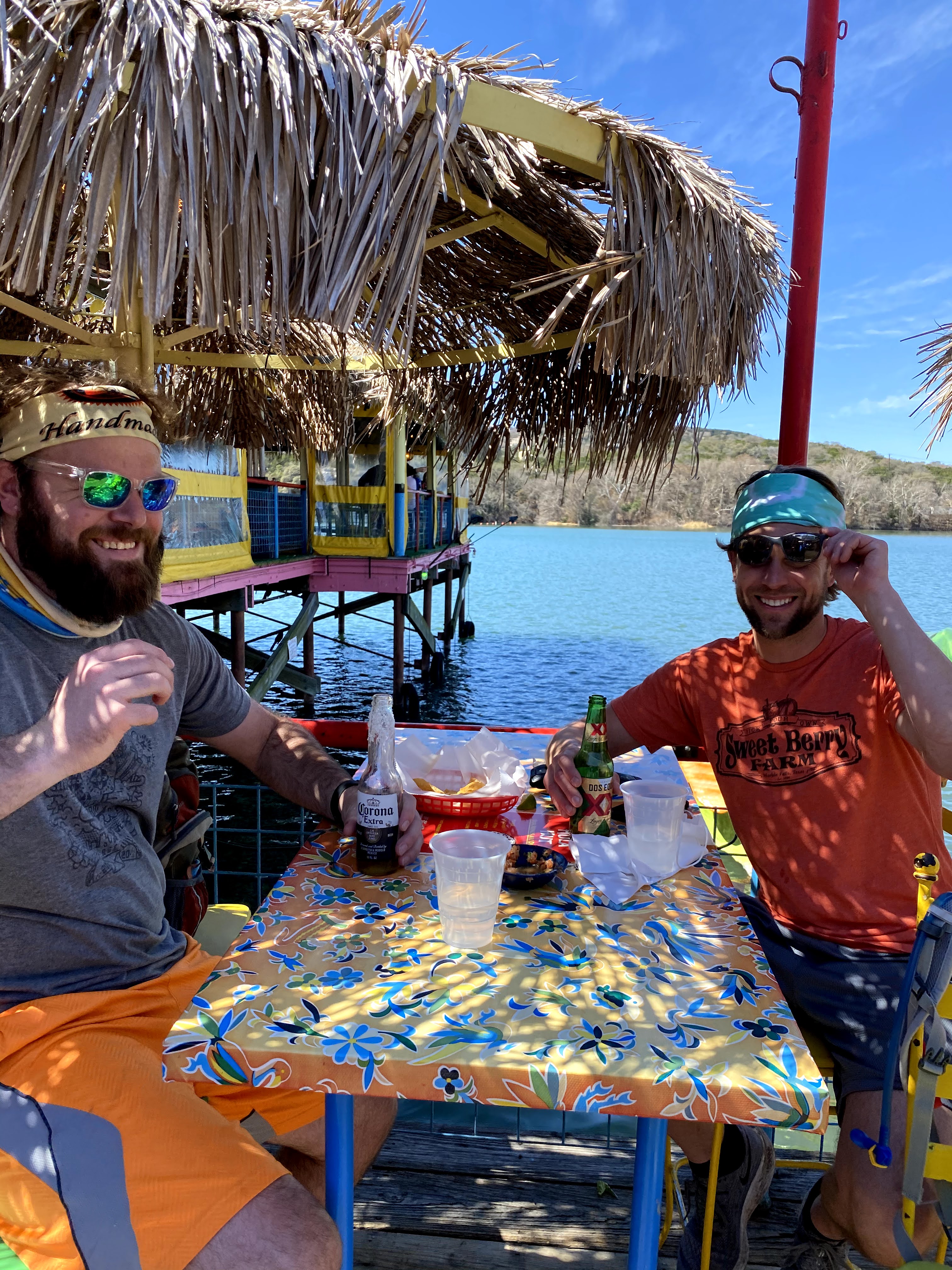
Soon we had made it to Red Bud Isle. If you look at the map, it’s that tiny little island in the river right under the “t” in West Lake Hills. That’s a popular spot for letting dogs run around off-leash. After that, we had made our way to the Hula Hut, a fun Hawaiian restaurant on the water. We stopped for one quick beer, then continued north through more rich neighborhoods along Mount Bonnell Road.
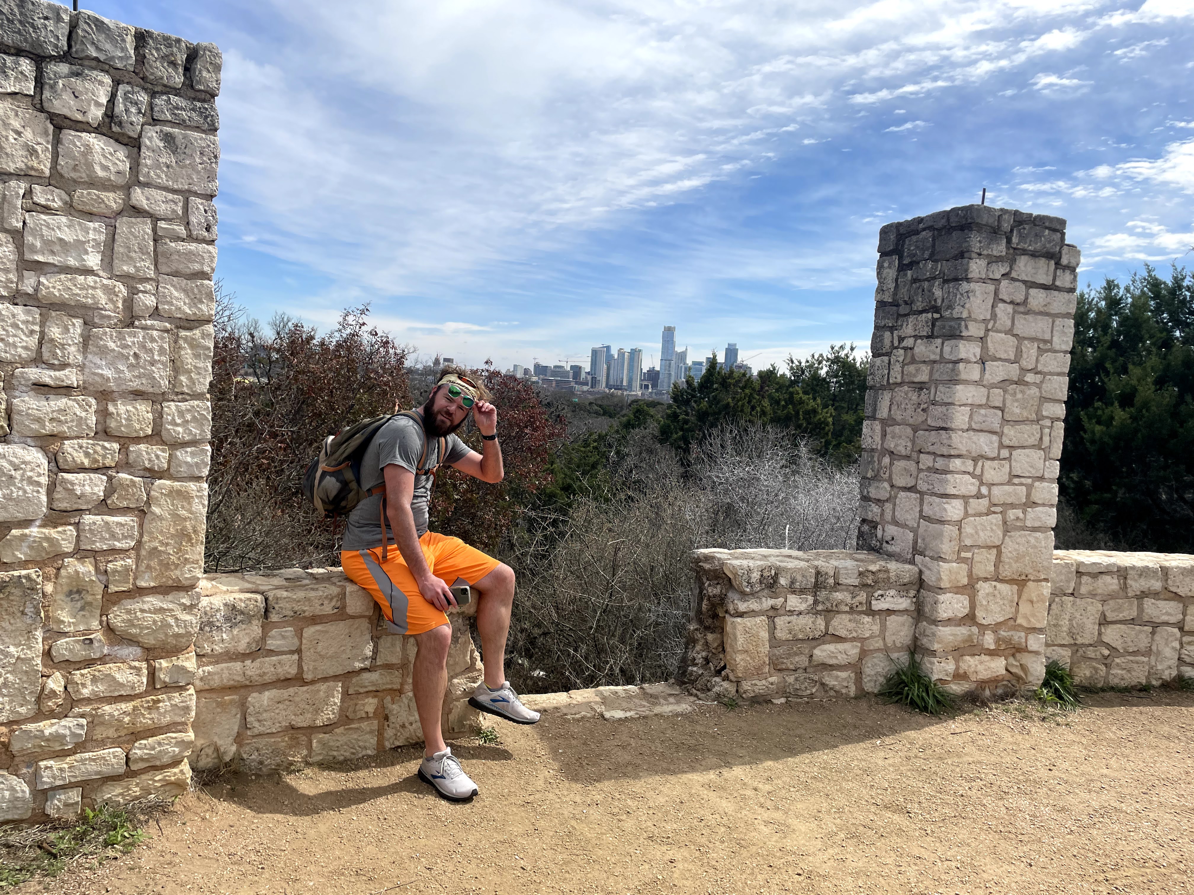
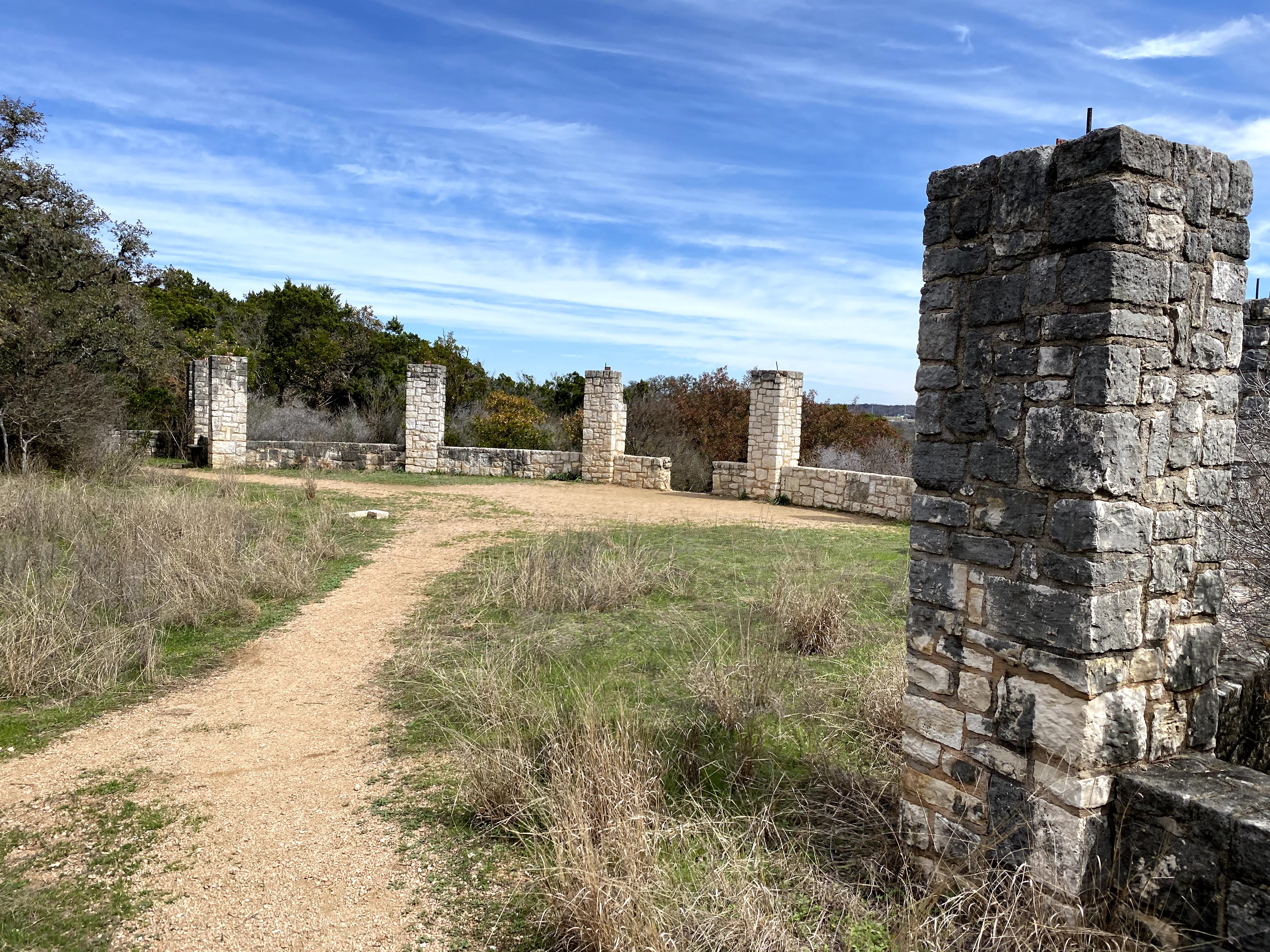
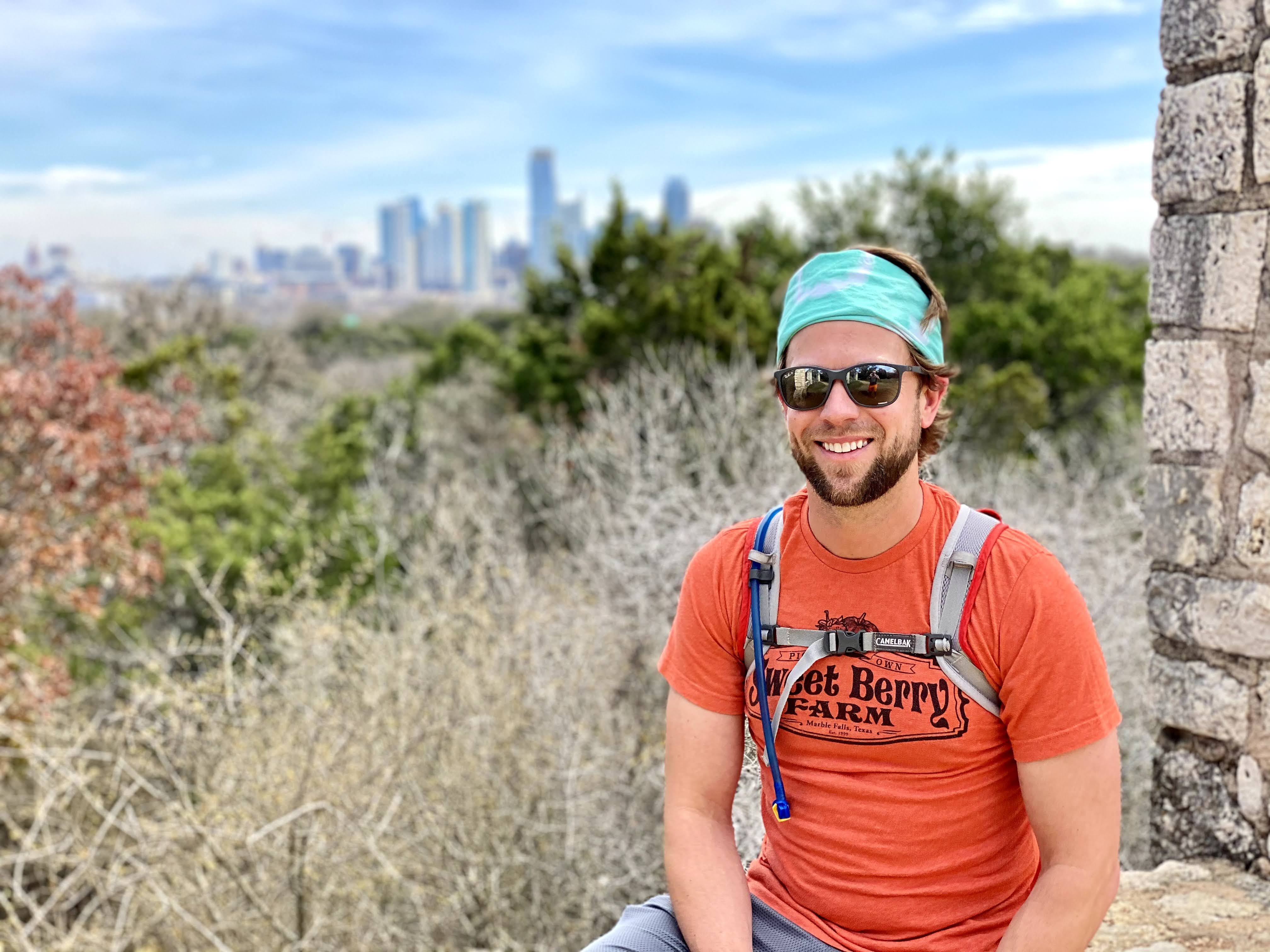
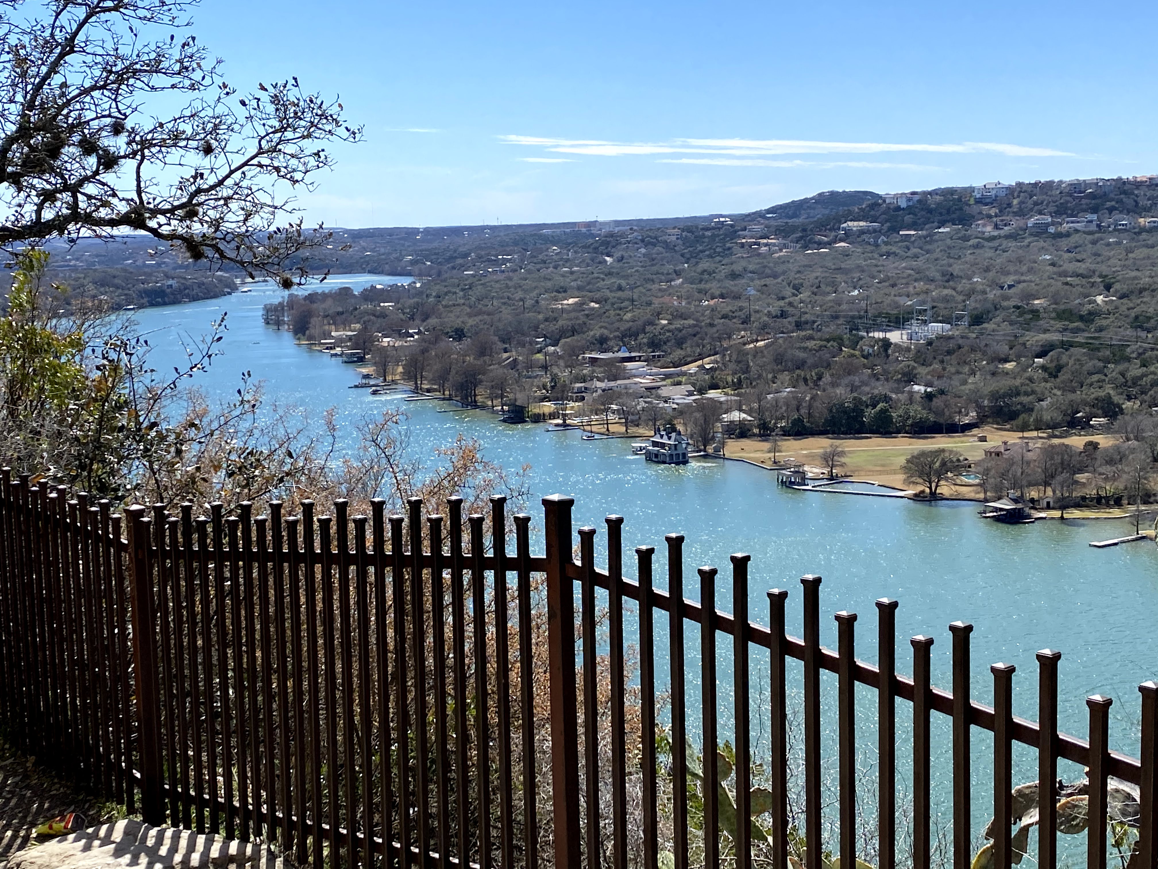
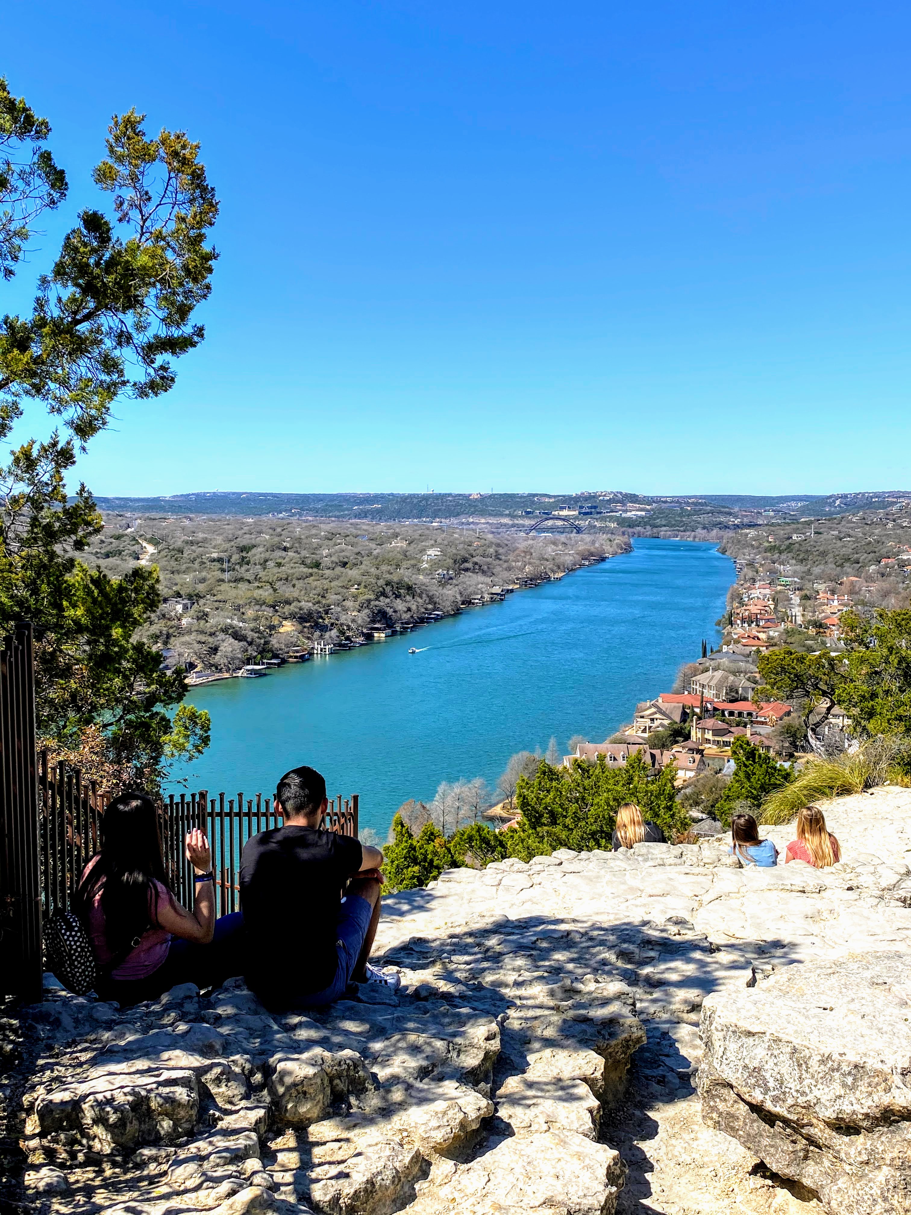
The uphill climbs were intense. There were so many very steep hills. My heart rate was in the 160s as we made it to the top of Mount Bonnell and took a minute to enjoy the scenic overlooks. After that, the walk took us across Hwy 2222 and onto Mesa Blvd, which was still very expensive homes. We sure did get a lot of architecture and landscaping inspiration from these homes! Mesa eventually ran into Jollyville Road, which felt like we were getting close to home. We cut through the Arboretum shopping center and started heading north on Jollyville.
This is where I really started to get sore. We were 15 miles in and I had burned 3,000 calories. Things that were very sore from the uphill walk included feet, the backs of my calves, the fronts of my thighs, and surprisingly my neck, which was lugging around a backpack filled with liters of water. As we inched down Jollyville, I knew making it all the way home before both sets of kids returned home from school was probably out of the question. Doing what any good dads would do, we parked it at the Pourhouse bar and called it a day, ending the walk at 16 miles. Sitting for the first time in miles felt very good. We enjoyed a couple of pints on the patio and then invited the wives and children to meet us for dinner and drive us home.